Using Google Earth Surface Metrics to Predict Plant Species Richness in a Complex Landscape
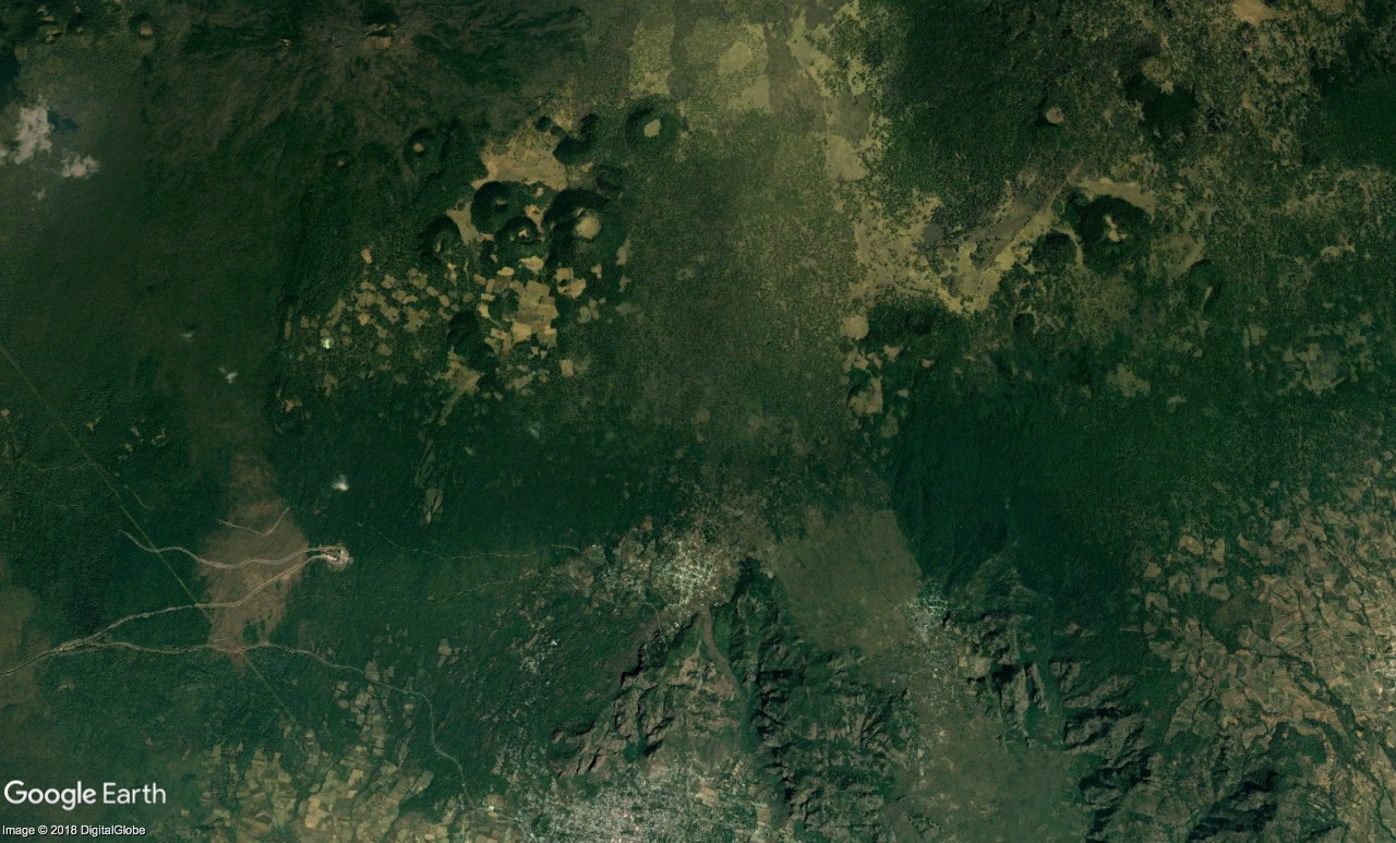
Google Earth provides a freely available, global mosaic of high-resolution imagery from different sensors that has become popular in environmental and ecological studies. However, such imagery lacks the near-infrared band often used in studying vegetation, thus its potential for estimating vegetation properties remains unclear. In this study, we assess the potential of Google Earth imagery to describe and predict vegetation attributes. Further, we compare it to the potential of SPOT imagery, which has additional spectral information. We measured basal area, vegetation height, crown cover, density of individuals, and species richness in 60 plots in the oak forests of a complex volcanic landscape in central Mexico. We modelled each vegetation attribute as a function of surface metrics derived from Google Earth and SPOT images, and selected the best-supported linear models from each source. Total species richness was the best-described and predicted variable: the best Google Earth-based model explained nearly as much variation in species richness as its SPOT counterpart ($R^2$ = 0.44 and 0.51, respectively). However, Google Earth metrics emerged as poor predictors of all remaining vegetation attributes, whilst SPOT metrics showed potential for predicting vegetation height. We conclude that Google Earth imagery can be used to estimate species richness in complex landscapes. As it is freely available, Google Earth can broaden the use of remote sensing by researchers and managers in low-income tropical countries where most biodiversity hotspots are found.